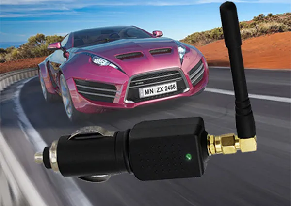
Carrying GPS jammer with you determines the convenience of the device
The desire to know where you are and where other moving objects are, of course happens to the military, regardless of the weather or the time of day. To control the movements of your army, having accurate data about your equipment and the positions of your infantry units, you can be more effective than if these data are approximate or completely inaccurate.

For this purpose, the GPS (Global Positioning System) system was created in the United States, which was initially only suitable for the military, but later one of the artificially low-accuracy ranges became civilian. L1 band, the frequency is 1575.42 MHz. Later, the GLONASS system appeared. She takes into account some of the shortcomings of GPS and is currently more efficient. Residential band L1 at 1602 MHz.
In a nutshell, how any satellite navigation works can be described as follows:
Satellites are constantly flying across the sky, and their numbers are such that at least 4 satellites are observable from Earth at any given time. This is the amount needed to get the coordinates. The satellites transmit data packets to the ground synchronously (ie simultaneously). The simultaneity of the start of transmission of such packets is so important that ultra-precise atomic clocks are installed on the satellites.
A receiver on the ground, which can be a cell phone, navigator or GPS marker, receives these packets. But because of the different distances to each transmitting satellite, the signals don't arrive at the same time, but at slightly different times.
In each packet, the satellite transmits its exact position, and each packet contains partial data about the coordinates of the other satellites. They have very low transfer speeds, so data on other satellites can be transferred in minutes. When there is enough data, i.e. the coordinates of at least 3-4 satellites are known, the receiver can finally use the obtained coordinates of the satellites and the time difference between the received packets to determine its position.
For example, satellite #1 is twice as far from us as satellite #2. This means that the signal from satellite 1 will be 2 times longer than from satellite 2. If there were three satellites, then we would find out the coordinates of the object, i.e. latitude and longitude, but this data would be incomplete because these coordinates do not include altitude. Only data received from four satellites at the same time can give us precise spatial coordinates, i.e. not only latitude and longitude, but also altitude.
So: Navigation satellites fly in orbit around the earth and send data packets to the earth synchronously. The receiver receives the data and calculates its position by estimating the time difference between the received data packets and obtaining data about the satellite coordinates at a given time.
In some cases, cell phone jammer gps are essential. The same applies to other gadgets that support Bluetooth, Wi-Fi or radio signals. The main thing is that when using a suppressor, the rights of others are not violated. Everything must be done within the law.
As for whether to make a mobile phone jammer yourself or buy it in a store, it is up to each individual to decide.
In all other cases, it is better to buy a similar gadget. Plus, all store-bought jammers are certified, meaning there's no risk of breaking the law, at least in that sense.


